(η τιμή περιλαμβάνει ΦΠΑ)
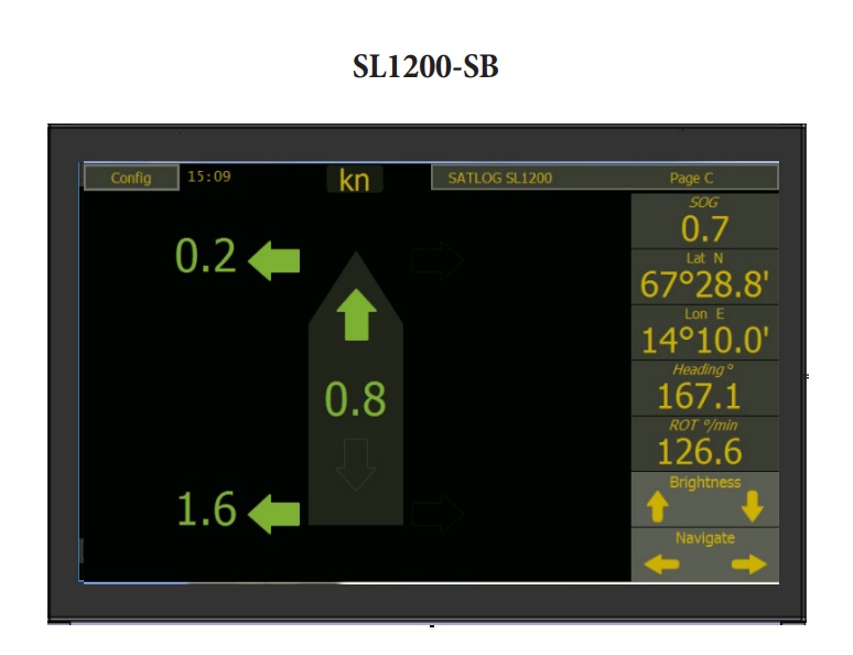
Το SKIPPER SATLOG SL1200 είναι ένα αρχείο καταγραφής ταχύτητας τριών αξόνων. Παρέχει διαμήκη και εμπρόσθια/πίσω εγκάρσια ταχύτητα πλοίου πάνω από το έδαφος (SOG). Το SKIPPER SATLOG SL1200 παρέχει ακριβείς παραμέτρους πλοήγησης που μετρώνται καθώς συμβαίνουν και παρουσιάζονται με λογικό, φιλικό προς το χρήστη τρόπο.
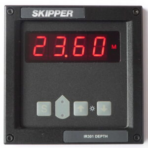
Speed Log:
SL1200
Number of Axis:
3
Speed range longitudinal:
+/- 99.9 knots
Speed range transversal:
+/- 99.9 knots
Speed over ground from:
0 meter
Temperature accuracy error:
N/A
Power Supply:
AC:115-230 V 50/60 Hz
DC: 20-32 V
Power Consumption:
– Display 5W
– Elecronic unit 10W
Display:
– Multi – Panel PC 9″ touch display, resolution 800×480
Mounting dimensions display:
– Touch display: 224.5 mm wide x 140 mm high
– Antenna: 100 mm height, 180 mm width and 790 mm long
IP rating:
Display: 2x
Antenna: 66
Accuracy:
<0.2 knots or 2% whatever is greater
Weight:
1.2 kgs for Graphic display
3 kgs for antenna
2 kgs for electronic unit
Standard cable length:
Not included for the antenna. Needed cable is 4 TSP (Twisted, shielded pairs) minimum 0.5 mm2. Max length 100 m.
Mounting options:
Speed alarms:
Outputs:
Inputs:
NMEA Outputs:
Classification:
Service:
Available in most major harbours, world-wide through extensive dealer network